E - PAPER

CURRENT MONTH

LAST MONTH

In Mussoorie, ‘encroachments’ being marked using 1897 map as reference
The anti-encroachment activity which is due to start in the hill town shortly is seeing protests by many residents as the administration is using a map dating to 1897 as reference for marking buildings that they claim have encroached on public land. Officials of the municipal council who are cond
 BY
admin
BY
admin
Published - Monday, 23 Jul, 2018

The anti-encroachment activity which is due to start in the hill town shortly is seeing protests by many residents as the administration is using a map dating to 1897 as reference for marking buildings that they claim have encroached on public land.
Officials of the municipal council who are conducting the drive said they are using the over 100-year-old map — which is around 2 metre long — as it is one of the most comprehensive ones available of the hill town.
M L Shah, executive officer, Mussoorie Municipal Council, said, “The decision of using the map was taken by higher officials. It is an extremely comprehensive map which is helping us a lot in making a list of properties to be marked as encroachment.”
However, most residents and business owners said that using a map that is more than a century old as a reference for marking encroachments was “highly impractical.”
RELATED STORY VIEW MORE

West Bengal Government Partially Operationalizes RERA
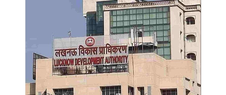
Lucknow Development Authority to Sell Plots in CBD to Boost Revenue

Blackstone, Hiranandani Group JV to Develop Industrial & Warehousing Parks
TOP STORY VIEW MORE

Mixed Outlook for Australia's Housing Sector In 2024
Mixed Outlook for Australia's Housing Sector In 2024
05 December, 2024

NEWS LETTER
Subscribe for our news letter
E - PAPER
-
CURRENT MONTH
LAST MONTH

REALTY+ SPECIAL ISSUES

Test Magazine
THE TECH TITANS 2022
COFFEE TABLE BOOK 2022
Anniversary Issue 2022
Anniversary Issue 2020
VIDEO GALLERY VIEW MORE